 Catàleg local de Mallorca
Ajuntament de Andratx
Type of resources
Available actions
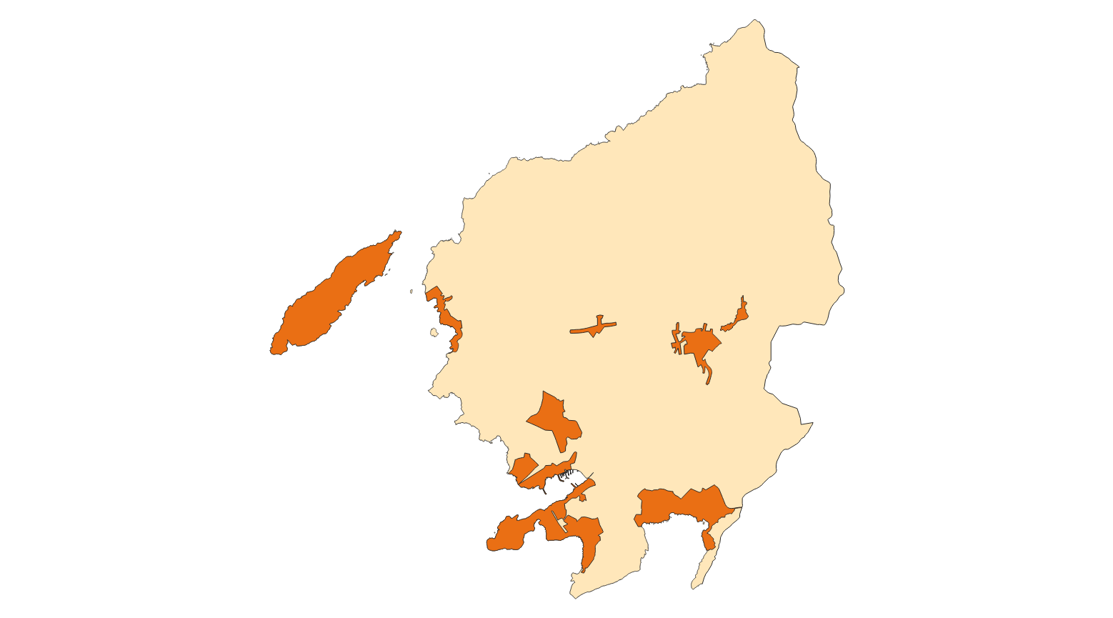
Municipios
INSPIRE themes
Keywords
Contact for the resource
Provided by
Formats
Representation types
Service types
Scale
-
Data set that contains Andratx data of containers, roads and AESA zone. Scale 1: 5,000. The reference system: ETRS89. Projection system: UTM spindle 31. Storage format: DGN i SHP.
-
Cartography of the network of roads, roads and streets of the municipality of Andratx. It refers to the topic Transportation Networks in Annex I of the INSPIRE Directive. Mapping generated in 2019. The sources are the streets and paths of the Cartociudad's project, wich are update with the staff's knowlege of the council. Scale 1: 2,000 the streets and scale 1: 5,000 the roads and roads. Reference system: ETRS89. Projection system: UTM fus 31. Storage format: PostgreSQL.
-
Cartography of the toponymy of the municipality of Andratx. The names refer to the topics of the INSPIRE Directive Geographical Names of Annex I of the INSPIRE Directive. Cartography generated in 2020. The sources are the Subsidiary Standards of 2007. The names of the elements of urban are at scale1: 1,000. Reference system: ETRS89. Projection system: UTM fus 31. Storage format: PostgreSQL.
-
Web map service that allows access to municipal layers of containers, roads and boundaries of AESA from Andratx The information is in ETRS-89 UTM-31N, although the original information is in ED50 (European Datum 1950). The scale of the layers that make up the wms service is 1: 2000. The original information from which wms was created is in dgn format. WMS service created and published in 2020 by Consell de Mallorca.
-
Web Map Service that allows access to the cartography of the Utility And Governmental Services. You can also check the characteristics of the layers. The associated style of layers is defined by the INSPIRE specifications. Access to this service is free provided that Andratx Town Hall appears as the owner of the data and Consell de Mallorca as the owner of the service.
-
Web Map Service that allows access to the cartography of the names of Protected Sites, Land Use, Utility and Governmental services and Transport Network. The service contains a single layer with the texts extracted from the layer of Transport Network, Protected Sites, Land Use and Utility and Governmental services. You can also check the characteristics of the texts. The associated style of layers is defined by the INSPIRE specifications. Access to this service is free provided that Andratx Town Hall appears as the owner of the data and Consell de Mallorca as the owner of the service.
-
Web Map Service according to the INSPIRE profile of ISO19128 WMS 1.3.0 that allows access to the cartography that represents the transport infrastructure network of Andratx, Mallorca, Balearic Islands Spain. The scale of representation is 1: 5000. Geographic information belonging to the Inspire I annex is shown Transport networks. The layers of information are in accordance with the INSPIRE Directive 2007/2 / EC (name, title and style Inspire by default). The access or connection to this service, to obtain the functionalities is free in any case.
-
Web Map Service that allows access to the cartography of the addresses of the municipality of Andratx. Cartography extracted from the Cartociudad project. The service contains the general layer called AD.Addresses.005 contains the addresses of the urban center of Andratx and a few kilometers from the rustic area of the municipality. The symbolism associated with layers is defined by the INSPIRE specifications. Access to this service is free provided that Andratx Town Hall appears as the owner of the data and Consell de Mallorca as the owner of the service. Scale 1: 2,000.